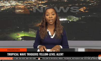
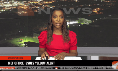
Yellow-Level Weather Alert Extended for Trinidad and Tobago
The Trinidad and Tobago Meteorological Service has extended its Adverse Weather Alert Yellow Level for Trinidad and Tobago until Friday, June 13, 2025, at 4:00 PM. This comes amid continued forecasts for occasional showers, heavy downpours, and isolated thunderstorms. With a 70% chance of heavy rainfall, the public is advised of an increased risk of street and flash flooding, as well as the potential for landslides or landslips, especially in areas where soils are already saturated. Gusty winds associated with thunderstorms could lead to rough seas, displaced outdoor items, and fallen trees. An Orange-Level Riverine Alert remains in effect for parts of Trinidad. Residents, especially in flood-prone and hilly areas, are urged to stay alert, avoid flooded zones, and secure loose objects. Motorists are advised to proceed with caution.